The trail of Ribeira de Alportel is a journey through the natural and cultural heritage of this county.
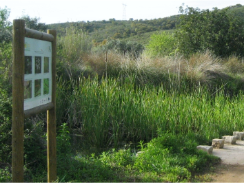
On this route that extends for 12 kms you will enjoy a unique experience of contact with nature. More than 80 species of birds, 46 species of butterflies, 28 dragonflies, among many others, have already been identified at the site.
Although the place can be visited throughout the year, it is during spring and autumn that the place reaches its maximum splendor.
We suggest starting the tour in the small arch under the N2 road, location we provide here, going up to Cerro de Alportel and heading to the Miradouro das Castanhas, which offers a panoramic view of the Serra to the north of São Brás de Alportel and the typical Algarve orchards to the south.
At Fonte da Tareja, the route follows the section that coincides with the Ribeira de Alportel Biodiversity Station, mentioned above.
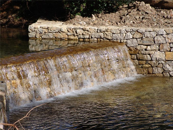
Passing the water mill and back to Alportel, the route follows a ridge line, from where you can see the Caldeirão mountains to the north, large cork oaks in the Umbrian areas and the ruins of a windmill.
These are undoubtedly excellent reasons for a visit to the site.
GPX - https://www.visitalgarve.pt/upload_files/client_id_1/website_id_1/GPX/SERRA%20Ribeira%20Alportel.gpx
Route information
Municipality: São Brás de Alportel
Location: Alportel
Circular route: yes
Distance: 12.3 km
Average duration: 4h to 5h
Cumulative ascent: 378 meters D+
Type of path: dirt paths and some paved paths
Photo credits: São Brás de Alportel Municipality


Comments
Send a comment